Nature experiences
For those who enjoy nature and rather would stay outdoors during their vacation, here are some tips on beautiful places to visit in Karlshamn. Walk along the coast and enjoy unbeatable sea views or visit wonderful forest areas with hiking trails and lakes. There are many fine nature reserves and interesting sights in fantastic surroundings to visit.
Sternö-Boön

The nature reserve Sternö-Boön offers experiences for anyone who is interested in nature, cultural history and geology or just out in beautiful and relaxing surroundings. The nature reserve consists of two different areas, Sternö and Boön. Sternö has various hiking trails (accessibility adapted), barbecue areas and swimming area with jetties (accessibility adapted). Boön has information boards with cultural and historical attractions. The small island was once home to Karlshamn’s first defense facility, Gamle Skans, and Sweden’s largest shipyard. At Boön there are countless traces of recent quarrying and modern defense facilities from the Second World War and the Cold War. Just before the intersection towards either Sternö or Boön lies the Bronze Age grave Högarör. The Sternö-Boön nature reserve is about 4 kilometers west of the city center.
Coordinates Sternö-Boön: N 56°08’41” E 14°50’24”
Långasjönäs

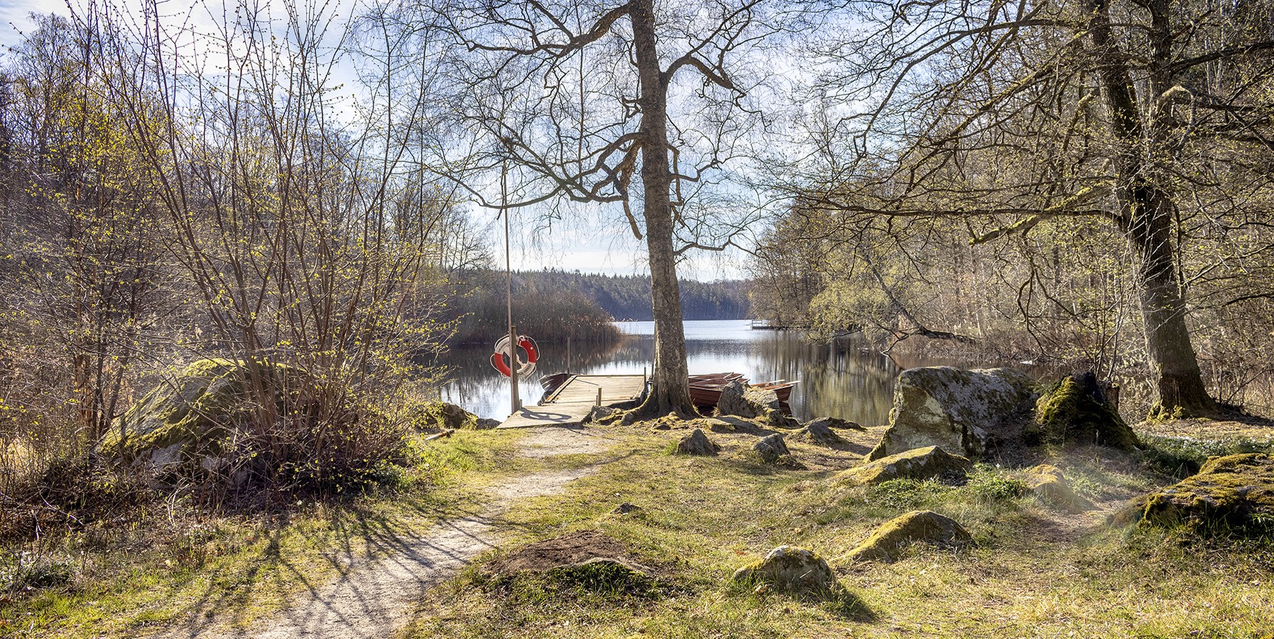
In the Långasjönäs nature reserve, you will find an area called Nytorpet. Nytorpet provides you with hiking trails, exercise tracks, sauna, rowing boats, canoes and barbecue areas. Nearby you will also find Långasjönäs campsite where you can rent cottages or camp with a caravan, camper van or tent. There is a swimming area with accessibility jetty. In the 18th and 19th centuries, there were paper mills, distilleries, sawmills, starch mills in the area. Most of the buildings are now only ruins that are well worth a visit. Långasjönäs Nature Reserve is located about 10 kilometers north of Karlshamns city center. A couple of kilometers from here are the Tarap’s giant cauldrons, see more information below.
Coordinates Nytorpet: N 56°15’02” E 14°51’06
Coordinates paper mill: N 56°13’55″E 14°51’36”

The paper mill in Långasjönäs nature reserve
Tarap’s giant cauldrons

The giant cauldrons in Tarap
A couple of kilometers from Långasjönäs nature reserve are Tarap’s giant cauldrons. Geological remains in various sizes, the largest are four meters deep. It is an interesting sight even for those who are not well versed in geology. Tararp’s giant cauldrons are protected as a natural monument.
For a long time, giant cauldrons have occupied people’s imaginations. Legends tell of gods and giants who dug out and cooked their food in the pots. Offering coins in them has been considered in many places to bring fishing luck. The craters were formed when gushing meltwater from the ice cap together with stones and gravel with great force carved out cavities in the rock.
Coordinates Tarap’s giant cauldrons: N 56°13’48” E 14°52’47”
The Mörrum river

The Laxaleden is an approximately 30 kilometer long hiking trail that follows the roaring Mörrum river through a piece of beautiful Blekingen nature, from farmland to woodland. It runs between the old town of Elleholm in the south and Hovmansbygd in the north. At Åkeholm it connect N 56°11’30” E 14°44’55”s to the hiking trail Blekingeleden. Along the trail there are information boards that inform about the history and culture that over time shaped life along this fish-rich and powerful watercourse. In the village of Mörrum, at Mörrums Kronolaxfiske, you can walk along the river, cross the bridges, and listen to the roaring and mighty river.
Coordinates the Mörrum river: N 56°11’30” E 14°44’55”
Coordinates Mörrums Kronolaxfiske: N 56°11’30” E 14°45’4″
Seaside promenade

The seaside promenade is a lovely hiking trail along the coast in central Karlshamn. It is about 2 kilometer long and starts by the statue of the emigrants, Karl Oskar & Kristina, in Näsviken. The hiking trail goes all the way out to Vägga fishing harbor, where you will find a smokehouse, fish restaurant, café and a campsite with adventure golf course during summertime (the smokehouse is open all year). Along the trail there are several public barbecue spots and places with great view to enjoy. Along the way you will pass Villa Utsikten (only open in the summer, but a very nice viewpoint all year round), paddle courts, Väggabadet (swimming pools), Karlshamn’s Kallbadhus (outdoor swimming bath) and Saltsjöbaden (an older building).
Coordinates The seaside promenade: N 56°09’52 E 14°52’09
Eriksberg nature reserve
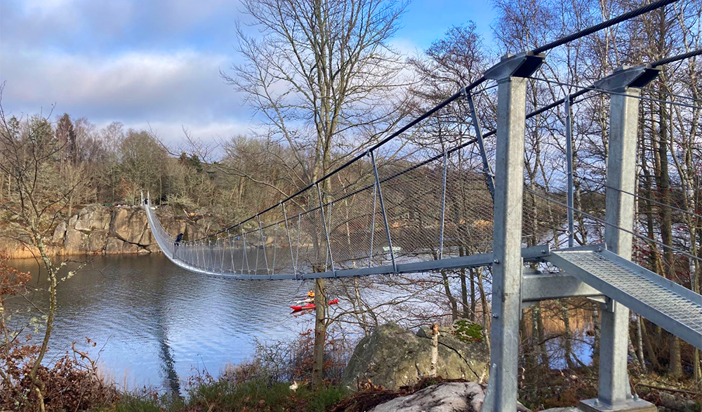
 Eriksberg’s nature reserve gives you a fantastic natural experience as you walk along the sea on the hiking trail Eriksbergsleden. It is a more advanced hike, where you experience a landscape with both rocky beaches and lush forests. There are also remnants of the many villages of the 19th century that testify to an older cultural landscape. The nature reserve consists of a coastal strip along the Eriksberg peninsula, the eastern part of Dragsö and smaller islands and islets in the surrounding sea. The area has a varied topography with a maximum level about 30 meters above sea level. There are many traces of human activities here, such as house ruins and former fields with remains of hedgerows that would protect the crops from wildlife and domesticated animals. New bridges have been built along the hiking trail Eriksbergsleden.
Closeby is Eriksberg Hotel & Nature Reserve, a 900 hectare fenced area with safari park, hotel, restaurants, shop and cafe.
Eriksbergsleden – about 12 kilometers – runs between Eriksberg Vilt & Naturs entrance and Björnahemmet
Coordinates Eriksberg nature reserve: N 56°10’15” E 14°59’03”
Stilleryd-Kofsa

The nature reserve Stilleryd-Kofsa
In Stilleryd nature reserve you can experience a gently hilly coastal and archipelago landscape with outcrops, scrub forests, open grasslands and marine environments. The mainland has been grazed for centuries. The nature reserve is located west of Karlshamn and was originally formed to protect the coastal stretch from exploitation. The area includes a mainland promontory and adjacent sea area with islands and islets. There is a swimming area, rest areas and a marked path in the nature reserve.
Nearby is also the area of Kofsa, which is a mountainous promontory with round rocks cut by the ice sheet. Here there is a forest area with paths that stretch along the cliffs and into the pine forest. In the area there is a jetty and barbecue area where you can enjoy the sunset.
Coordinates Stilleryd-Kofsa: N 56°09’19” E 14°47’22”
Ire nature reserve

Ire nature reserve
Ire naturer reserve is located 20 kilometers north of Karlshamn, east of Mieån, and is one of Blekinge’s best-preserved agricultural landscapes. Within the reserve are meadows, fields and pastures that have been claimed for hundreds of years. Today there are two original farms in Ire; Håkansgården and Josefsgården. Both have been restored to original condition. Ireland is a living museum far removed from large scale and rationalized agriculture and an important link to our history. At the end of the summer each year, the scythes are sharpened to become effective cultural and nature conservationists. In the area you will also find impressive cairns and stone walls and old trees that have been cultivated for generations. Ire village probably dates from the early Middle Ages. The oldest known information about the village is from 1658.
Coordinates Ire naturer reserve: N 56°20’39” E 14°52’13”
Tjärö

The island Tjärö
Tjärö is a real archipelago idyll with meadows, grazing cattle, stone fences and lush hiking trails. People on the island, who for generations have kept grazing animals and harvested forest for different needs, have shaped its open nature. Today, Tjärö is a popular attraction during summertime and has a special place in the heart of many archipelago friends. Out here, it feels like time has stood still. The fallow red courtyard with manor house, lanes and cottages has become a hostel, hotel, café and restaurant. Open April to September.
On some summer evenings, you can enjoy live music on the large wooden deck at the guest harbor and restaurant. There is also a sauna boat and canoes for rent.
Travel to Tjärö during summertime with boats from Karlshamn city center, Matvik and Järnavik. Other times of the year, the island can be reached by own boat.
Coordinates Tjärö: N 56°10’14” E 15°03’00”
Tärnö

The island Tärnö
Tärnö is a archipelago island and beautiful nature reserve. It is the largest island in Karlshamn’s archipelago and lies at the far end of the sea band. The nature varies with rocky fields, pebble fields, overgrown pastures and sandy beaches. High up on Tärnö’s southern cape stands Sweden’s oldest wooden lighthouse. This octagonal building dates from 1910 and is still in operation. From Tärnö’s highest point “Drakaberget”(a mountain) you can see more than half of the Blekinge coast. There are various hiking trails around the island.
Travel to Tärnö during summertime with boats from Karlshamn city center or Matvik. Other times of the year, the island can be reached by own boat.
Coordinates Tärnö: N 56°07’15” E 14°57’47”

